Go here for the latest forecast on Tuesday.
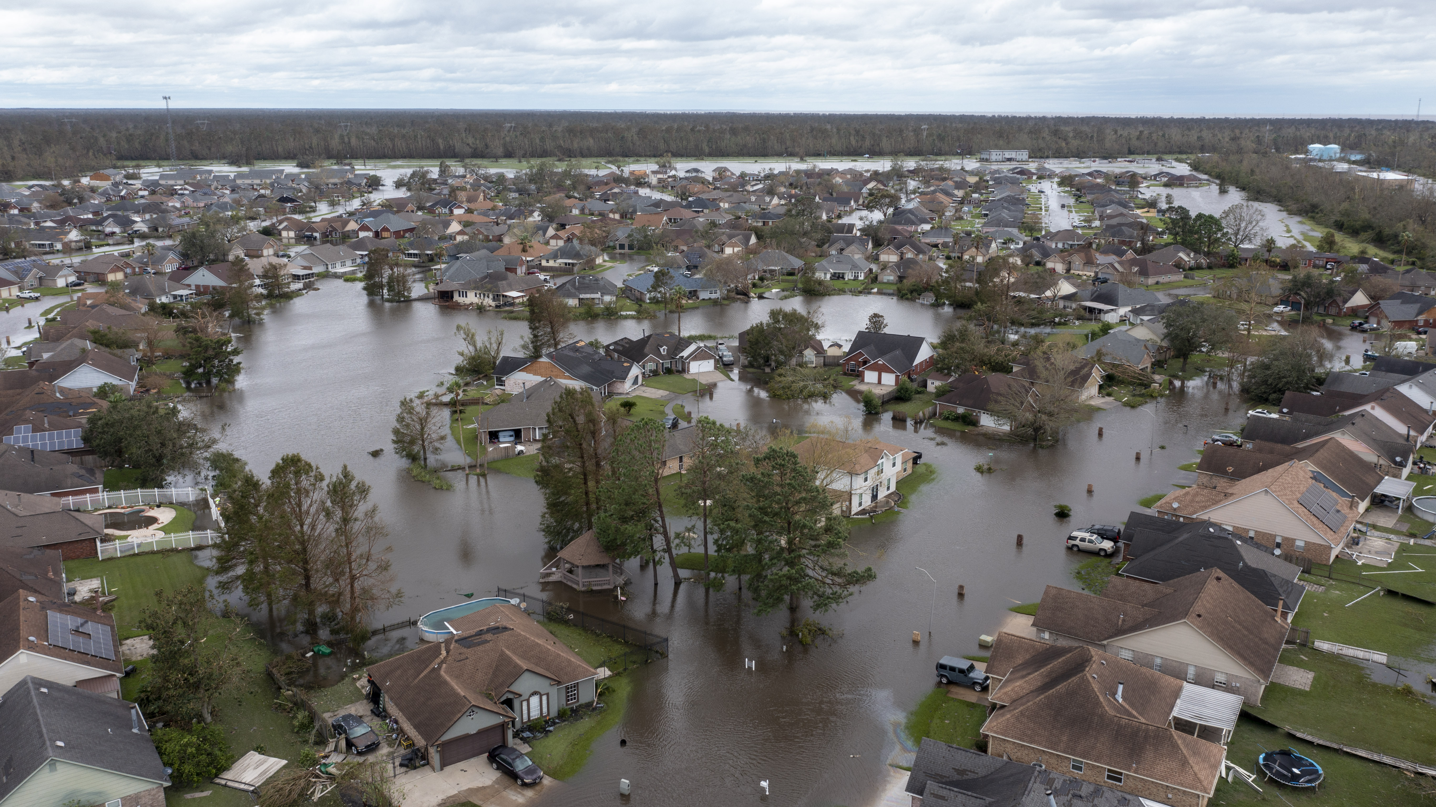
This week is all about Ida: The storm that made landfall in Louisiana as a 150-mph Category 4 hurricane Sunday was downgraded to a tropical storm Monday at 5 a.m., although it continues to pose a threat. As the wind field unravels, the storm will unload catastrophic amounts of rainfall.
We will have to deal with that rainfall around here from Tuesday night into Thursday morning.
Severe thunderstorm warnings were in effect earlier Monday evening for parts of Fauquier, Prince William and Stafford counties, and the city of Manassas.
We've got the news you need to know to start your day. Sign up for the First & 4Most morning newsletter — delivered to your inbox daily. Sign up here.
A flash flood watch is in effect through 10 p.m., as rain showers and thunderstorms unrelated to Ida could produce heavy rain in a short period of time. Go here to see all weather alerts.
Monday's watch is in effect for areas including the District; parts of Anne Arundel, Montgomery and Prince George's counties in Maryland, and Arlington, Fairfax, Loudoun and Prince William counties and the cities of Alexandria, Falls Church, Manassas and Manassas Park in Virginia.
Monday's heavy rainfall could result in rapid rises of small streams and creeks, and in urban and poor drainage areas, the National Weather Service said.
In between the bouts of rain, though, is your chance to get ready for the remnants of Ida: Early Monday afternoon and Tuesday will offer good opportunities to ensure that all gutters and storm drains are clear of debris.
Rainfall amounts from Ida in our area will average at least 2". That alone would be enough rain to cause concerns due to our nearly saturated soil. But 2" is on the low end of what to expect. The dying tropical systems are famous for unleashing deadly flooding in the mountains, and that should be expected in our higher terrain. Areas along and west of the Blue Ridge and along the Maryland/Pennsylvania border are likely to get at least 4" of rain, with local amounts of 6" or more not out of the question.
Our entire area should prepare for the worst of the rain, wind and risk of power loss to arrive Tuesday night. Wednesday will be the worst of it in the D.C. metro area. Plan to work from home if possible, and, if you had travel plans, consider changing them to avoid being out in the worst of the storm.
The National Weather Service has already issued a flash flood watch for Wednesday morning through Thursday morning for the District and parts of Maryland and Virginia, including: Anne Arundel, Montgomery, Frederick and Prince George's counties in Maryland, and Arlington, Fairfax, Fauquier, Prince William and Loudoun counties and the cities of Alexandria, Falls Church, Manassas and Manassas Park in Virginia. See all weather alerts here.
Whatever is left of Ida will move out quickly on Thursday and leave us with some beautiful September sunshine for Labor Day weekend.


