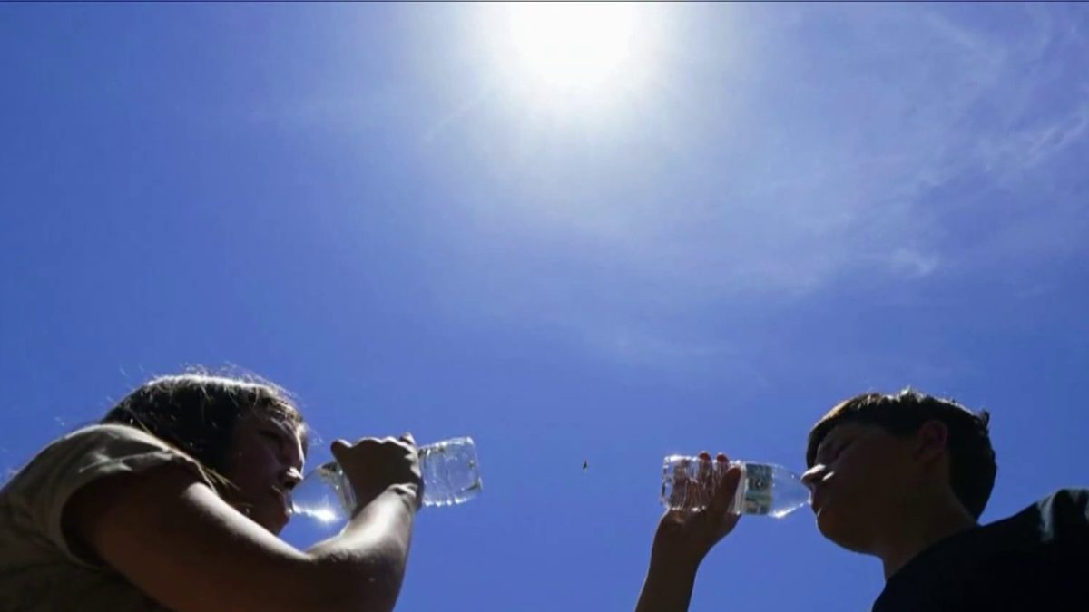
Severe storms are hitting the D.C. region Monday evening as heat and humidity continue to grip the area.
A severe thunderstorm warning is in effect for D.C. and surrounding areas in Maryland and Virginia. Storms have the potential to be strong to severe with downpours and gusty winds up to 60 mph.
D.C. hit a record-high temperature of 102° on Monday – and it felt like 106° in the afternoon, according to Storm Team4.The last time the region was this hot was July 8, 2012.
If the region hits 101° or hotter tomorrow, it will be three consecutive days at above 101°. This has only happened once before in 1930.
We've got the news you need to know to start your day. Sign up for the First & 4Most morning newsletter — delivered to your inbox daily. Sign up here.
An excessive heat warning was issued for D.C. and parts of Maryland and Virginia, including Prince George's, Montgomery, Arlington and Fairfax counties. The heat warning will continue through Wednesday, with possible isolated storms Tuesday night and strong to severe storms Wednesday night. Go here to see all weather alerts.
Make sure to practice heat safety and know the signs of heat-related illness. Cooling centers are available in D.C., Virginia and Maryland.
There is also an air quality alert in parts of Maryland, including Prince George's, Anne Arundel and Montgomery counties. Suburban D.C. is expected to see code yellow air quality on Monday so people sensitive to air quality should take extra precautions. Children, the elderly, those with respiratory issues and other vulnerable populations should not spend a lot of time outdoors. You can check your local air quality on Airnow.gov.
Weather Radar
Download the NBC Washington app on iOS and Android to check the weather radar on the go.
Excessive heat throughout midweek
The heat is expected to peak in intensity on Tuesday. Brace for temps just above 100 degrees with feels-like temperatures up to 111 degrees.
More rain is expected on Wednesday, but the good news is that cooler air will come in behind the rain.
You can plan on a little relief from the heat starting Thursday. Then, highs are expected to max out in the upper 80s through Sunday.
That cooldown won't last long: Expect to face heat advisories or excessive heat warnings again next week.


