One person was killed when a large tree fell on a moving car in Maryland as Tropical Storm Isaias thrust damaging wind gusts, several inches of rainfall and life-threatening flash flooding into the D.C. area.
Leonardtown in St. Mary’s County and Chesapeake Beach in Calvert County were hit by tornadoes, the National Weather Service confirmed. They are looking into reports of other tornadoes in the area.
Isaias dumped nearly 8 inches of rain on Mechanicsville, Maryland, and more than 2 inches on D.C. and then moved past the Chesapeake Bay by noon and skittered up the East Coast.
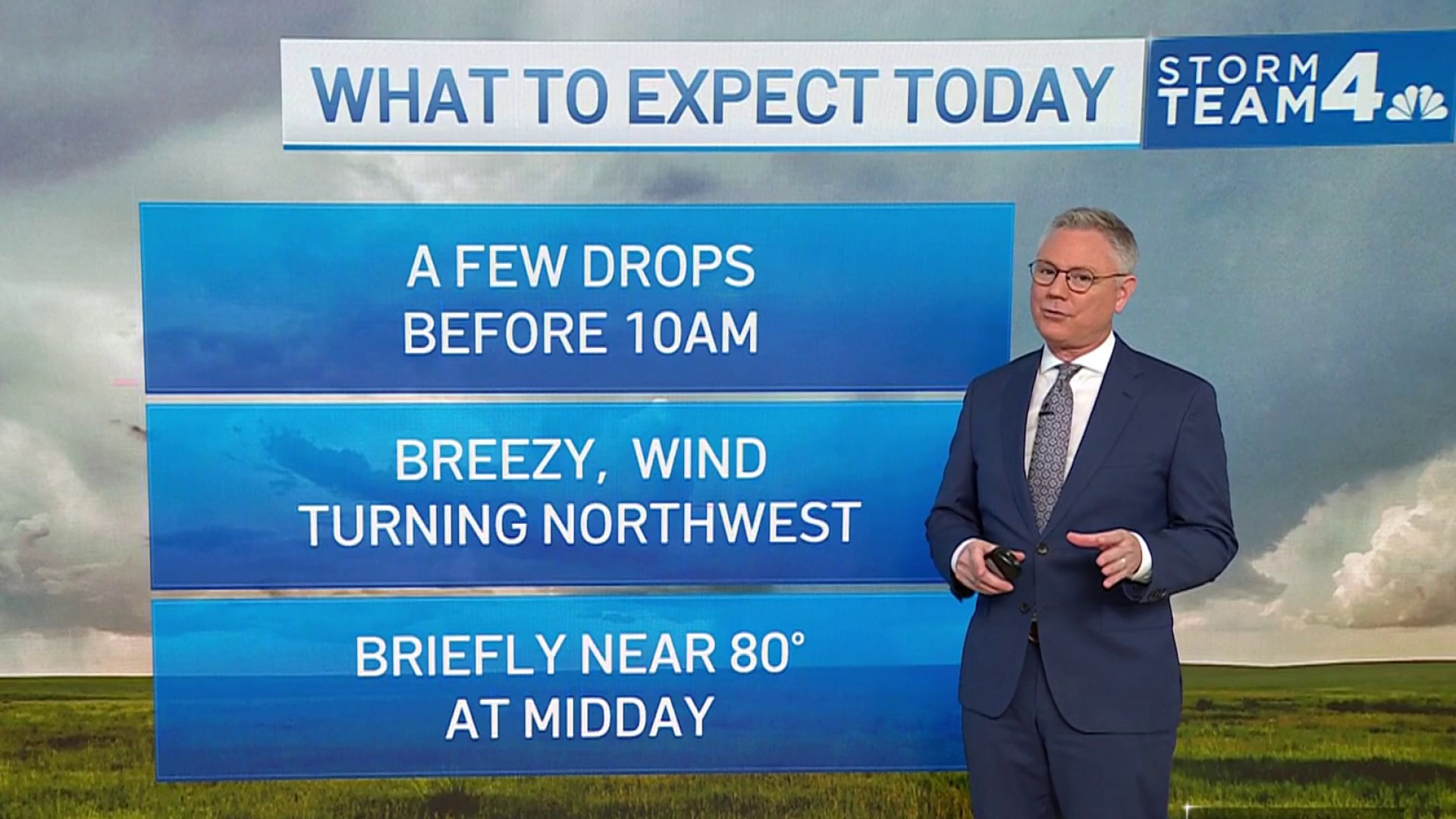
The D.C. area is unlikely to see more dramatic downpours or flash flooding for the rest of Tuesday. Many neighborhoods are expected to remain dry.
Floods and coastal flooding remain moderate concerns, Storm Team4 Meteorologist Amelia Draper says.
Weather
Latest weather forecast, live radar and weather maps for Washington, D.C., Maryland and Virginia
A flood warning is still in effect in parts of Anne Arundel, Calvert, Charles and Prince George's counties. Here's a full list of weather alerts.
Storm Team4 declared a weather alert because many roads could still be flooded. Never drive into a flooded roadway.
Any afternoon sunshine will give a small break to those cleaning up storm damage. Southern Maryland was hit particularly hard and a series of tornado warnings were issued.
St. Mary's County was among the hardest-hit spots. According to Maryland Gov. Larry Hogan, just over 7 inches of rain fell and a tornado touched down there. State road crews responded to 14 incidents in the county, more than anywhere else.
One person was killed in St. Mary's County when a large tree toppled onto a moving car. Deputies from the St. Mary’s County Sheriff’s Office responded to the 29500 block of Three Notch Road in Mechanicsville at about 9:30 a.m. A huge tree fell onto the car’s roof, trapping the driver. The driver was pronounced dead at the scene. Their identity is being withheld pending notification of their family.
Rescuers were seen trying to help the trapped occupant. The tree that fell had a root system at least six feet wide, NBC4's Tracee Wilkins reported.
The sheriff's office initially told News4 that one person was dead and another was injured. Police later confirmed that one person, the sole occupant, had died.
Serious thunderstorms capable of producing tornados rolled over St. Mary's early Tuesday, downing trees and flooding roads. A tornado was observed near Leonardtown, Maryland, the National Weather Service says. The twister toppled trees but no injuries were reported.
St. Mary's Sheriff Tim Cameron warned that most roadways became "impassable and dangerous" and that multiple people needed to be rescued from high water.
"It was incredible how much the water level was raised," Cameron said. “The traditional areas flooded right away and then some other areas too."
In Montgomery County, another person was injured when a tree fell across West Lake Drive. They are expected to recover.
When peeks of the sun began shining through at about noon, tens of thousands were still without power. Most were SMECO customers in Calvert, Charles and St. Mary's counties or Dominion Energy customers in Northern Virginia.
Streets near the Potomac River in Old Town Alexandria were inundated with ankle-high water. In Fairfax County, Old Courthouse Road, Browns Mill Road, Burke Road and Lawyers Road were among those closed due to flooding.
Sligo Creek Parkway from University to Dennis Avenue was closed, as was Forest Glen to Colesville Road.
Trees were knocked down in D.C., closing 10th Street NE and 27th Street Northwest.
Isaias weakened to a tropical storm as it made landfall overnight near Ocean Isle Beach, North Carolina.
Metro closed the Red Line station in Cleveland Park and King Street's Cameron Street entrance as safety precautions.
Dangerous winds will be mainly a concern east of I-95 as the storm passes over the Chesapeake Bay.
Crews in the region stacked sandbags, cleared debris from drains and put tree-removal teams on standby Monday.
A coastal flood warning is in effect. The National Weather Service says the unprotected area on the Southwest Waterfront at the DC Seafood Market is expected to flood. Water is also expected to approach parts of the Hains Point Loop Road.
Moderate coastal flooding is also possible at times of high tide Tuesday as Isaias makes its closest approach to the area.
In anticipation of the storm, D.C. closed all meal and grocery distribution sites and COVID-19 testing sites, including at fire stations, on Tuesday.
In case of power outages, make sure you have on hand non-perishable food and enough drinking water to last a few days. Other emergency items to have include extra medication, face masks and hand sanitizer. Charge up your devices early and know where to find flashlights and candles.
You should also secure any loose objects outside your home, such as lawn furniture.
Remember, never drive into a flooded roadway.


