
4 things to know about the weather:
- Feeling like early summer
- Stray shower possible
- Near 80° all week
- Rain still likely Saturday
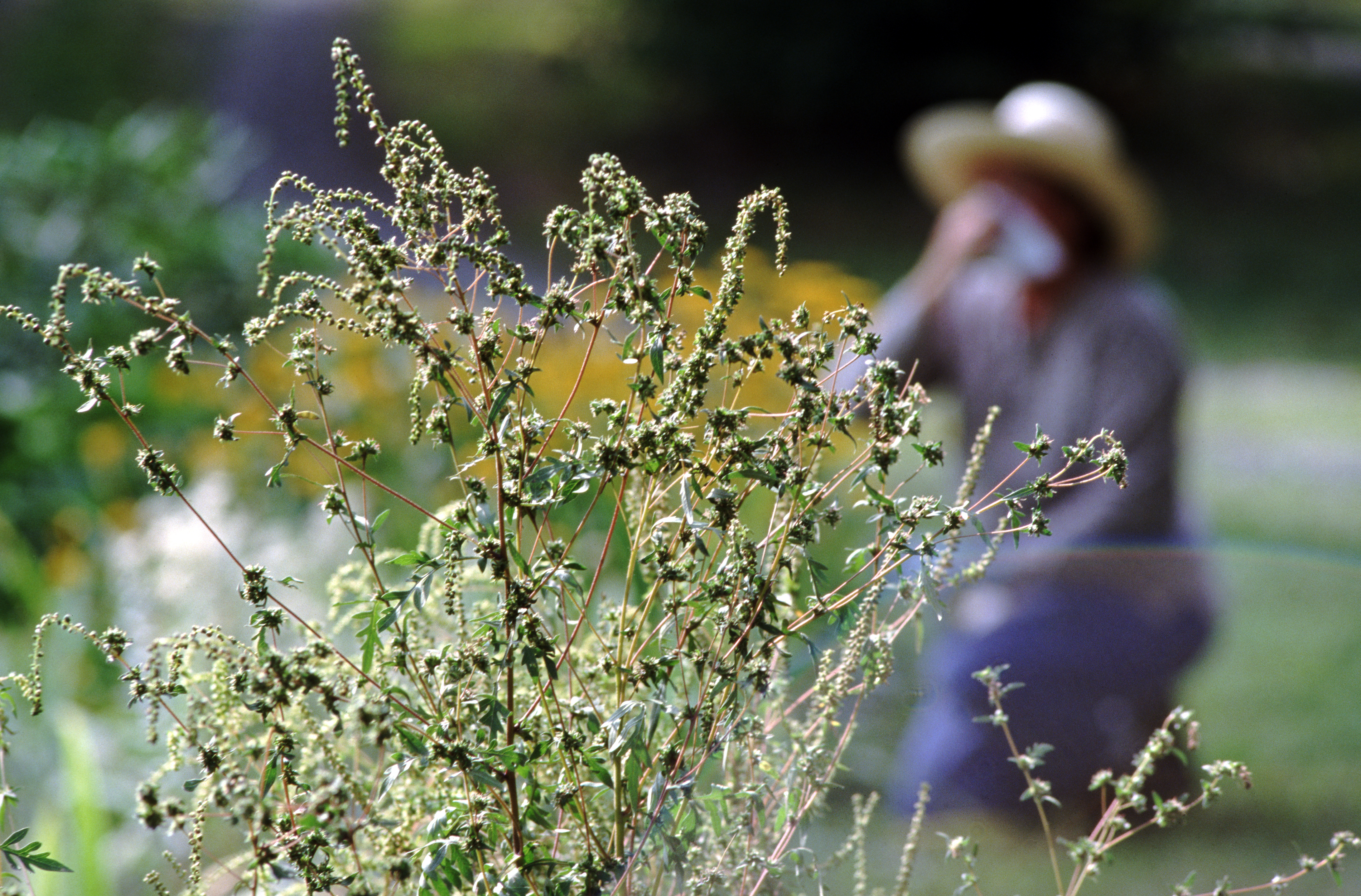
A bubble of high pressure will push a weak cold front through our area Tuesday, leading to a small chance for a passing shower or two.
Rain chances, such as they are, will start in Northern Maryland Tuesday morning then move south during the day. Rain totals, if you get any rain at all, will be less than a quarter of an inch. The rain chance will reach Southern Maryland by early afternoon and could linger all the way into early Tuesday evening.
We've got the news you need to know to start your day. Sign up for the First & 4Most morning newsletter — delivered to your inbox daily. Sign up here.
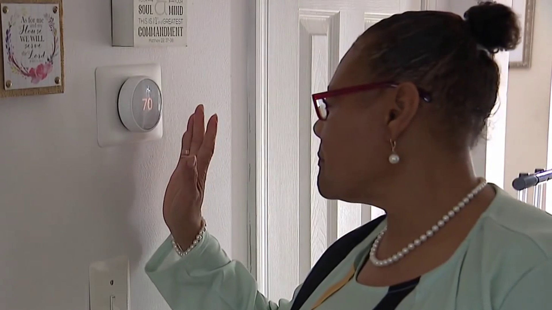
Temperatures are starting out in the mid-60s Tuesday morning so, even with plenty of clouds, reaching the upper 70s is still likely Tuesday afternoon. North winds after the front passes through will help to bring less humid air back into the region. The main results will be cooler mornings and sunnier afternoons.
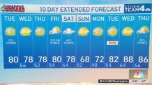
Wednesday morning will be at least 10° cooler than Tuesday morning with most locations starting out in the low 50s. Wednesday and Thursday afternoon will turn mostly sunny with daytime highs near 80°.
Expect rain chances on warm Saturday
Clouds will return on Friday morning and rain chance will arrive that evening. Rain chances will remain high (60-70%) on Saturday with showers in the morning and the chance for a thunderstorm in the afternoon and early evening. Temperatures will still be near 80° on Saturday afternoon. A cold front Saturday evening will push the rain chances out of the area, leaving Sunday with sunny skies and highs near 70°.
That dryness will last into the middle of next week with the potential of a much warmer pattern arriving next Tuesday.
Starting with this Tuesday, every record high is now 90° or higher all the way into the fall. On average, D.C. reaches its first 90° of the year on May 18, and there are signs that we could get there next Wednesday, which would be about two weeks early. Last year, our first 90° came on May 2. The year before that, it came on June 2.
Weather radar
Download the NBC Washington app on iOS and Android to check the weather radar on the go.
10-day forecast
Quickcast
TUESDAY:
More Clouds Than Sun
AM: Sprinkle/Drizzle
PM: Warm And Dry
Wind: Northwest 5-15mph
Chance Of Rain: 20%
HIGHS: 72° - 80°
TUESDAY NIGHT:
Passing Clouds
Seasonably Cool
Light Breeze
Wind: North 5 mph
Chance Of Rain: 0%
LOWS: 48° - 56°
WEDNESDAY:
AM Cloudiness
Afternoon Sunshine
Warm With Low Humidity
Wind: Northeast 5-10 mph
Chance Of Rain: 0%
HIGHS: 72° - 78°
THURSDAY:
Mostly Sunny
Warm
Low Humidity
Wind: Southeast 5-15 mph
Chance Of Rain: 0%
HIGHS: 76° - 82°
FRIDAY:
Increasing Clouds
Warm, More Humid
Late Day Showers Possible
Wind: Southeast 8-16 mph
Chance Of Rain: 30%
HIGHS: 75° - 80°
Sunrise 6:22 Sunset 7:52
Average High: 71° Average Low: 51°