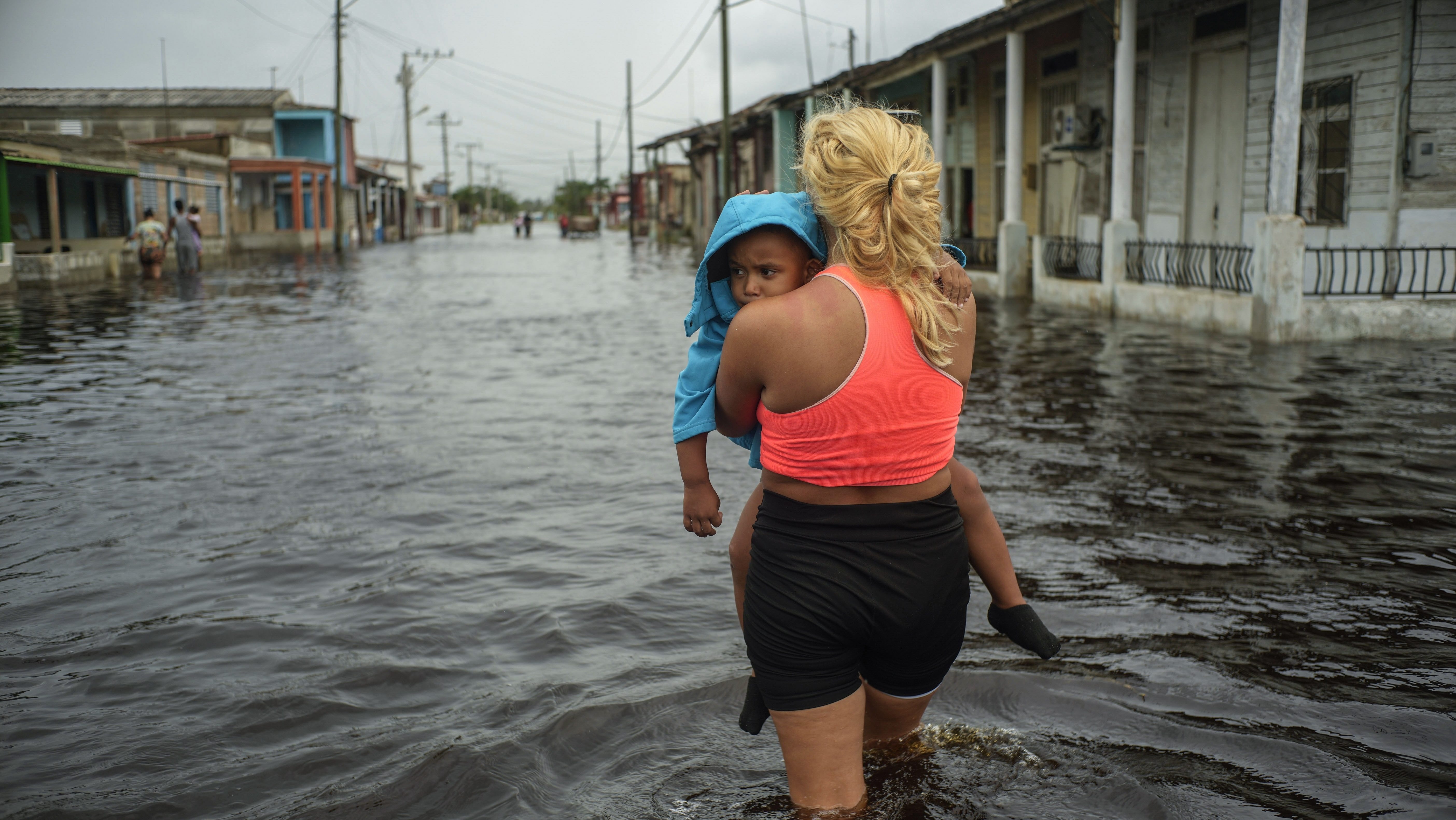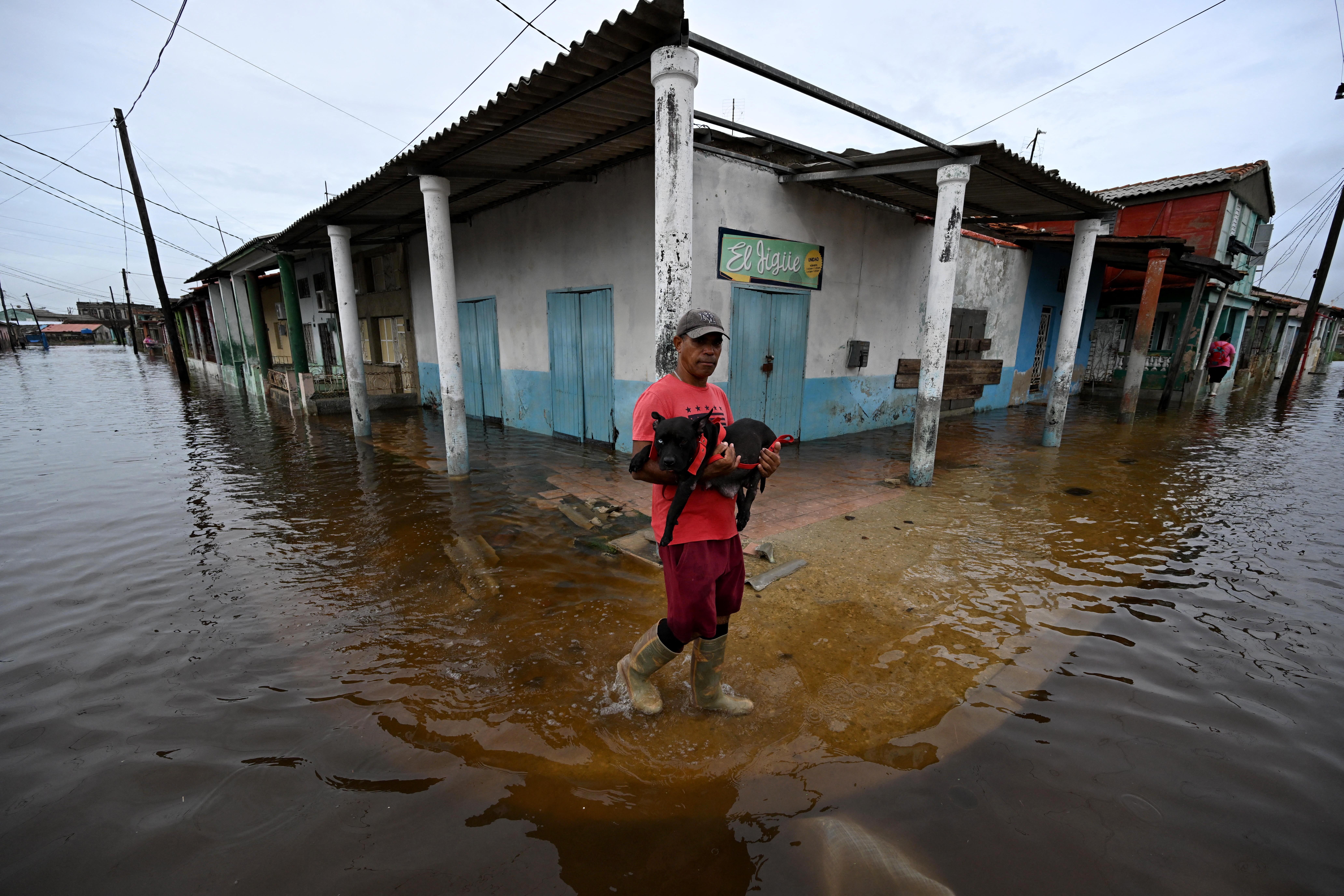
A strange, damaging hurricane season comes to its official end Saturday, and forecasters are taking stock of its many surprises.
“Every year there’s one or two things that make me scratch my head, and this year I was doing more head-scratching than normal,” Philip Klotzbach, a meteorologist at Colorado State University who specializes in Atlantic hurricane forecasts, told NBC News.
Most forecasters predicted a hyperactive hurricane season as early as April, with the National Oceanic and Atmospheric Administration issuing its highest-ever forecast.
In the end, 18 named storms, 11 hurricanes and five major hurricanes formed — at the lower end of the range most forecasters expected, though still an above-normal and “extremely active” season.
We've got the news you need to know to start your day. Sign up for the First & 4Most morning newsletter — delivered to your inbox daily. >Sign up here.
What surprised researchers was the bizarre way the season played out. It got off to a roaring start when Hurricane Beryl became the first Category 5 storm seen in the Atlantic Ocean in June. But from mid-August through early September, all went quiet. That’s usually when the season reaches its peak — around Sept. 10. But not a single named storm developed during those weeks, the first time since 1968 that has happened.
Just when researchers thought their forecasts were turning into busts, storm activity roared back to life and hurricanes Helen and Milton struck, causing billions in damage.
“It took your normal seasonal cycle and turned it on its head,” Klotzbach said. “What stood out to me — it was like a switch flipped and it went completely off and completely on. It went from nothing to Helene and a bunch of storms in the east Atlantic and Milton.”
Researchers are studying what led to the strange pattern to boost their understanding of the factors that drive hurricanes and improve future forecasts.
The reasons researchers predicted a busy, dangerous hurricane season this spring were record high ocean temperatures in the Atlantic and a likelihood that La Niña, a natural pattern of variability, would take hold. Ocean heat provides fuel for hurricanes, and it can enable them to intensify more quickly. La Niña is associated with hurricanes because it often decreases stability in the atmosphere.
“Early on, we thought it would be the busiest season on record,” Klotzbach said.
Although ocean temperatures remained at or near record highs in the North Atlantic, La Niña did not develop strongly, said Matthew Rosencrans, the lead hurricane forecaster at NOAA’s Climate Prediction Center, a division of the National Weather Service.
Other factors most likely combined to cause the surprising lull in activity, as well.
About 60% of hurricanes form as a result of Africa’s tropical monsoon season, which draws moisture into an area called the Sahel. But this year, the monsoon developed in a different location.
"The monsoon ended up so far north and was so intense it ended up in places that hadn’t had rain in 45 years,” Rosencrans said. The change dampened tropical storm development.
A separate climate pattern called the Madden Julian oscillation, which is a grouping of storms that travels near the equator, most likely also contributed, slowing storm development in early September and then allowing hurricanes to take off later in the month, Rosencrans said.
Researchers will spend the winter investigating which factors had the most influence via climate and weather models.
“It’s an opportunity to learn, to look at the system and have the Earth teach us something new,” he said.
Despite the midseason break from tropical storms, 2024 set several records. Five hurricanes made landfall in the continental U.S., tying several years for the second most in history, according to a review Klotzbach published.
Helene was the strongest hurricane to ever strike Florida’s Big Bend. And seven hurricanes formed in the Atlantic after Sept. 25, the most in recorded history.
Hurricane Milton set a record for tornado warnings in Florida and spawned dozens of tornadoes.
Research suggests climate change made Helene and Milton worse. Both hurricanes went through a rapid intensification process, in which a hurricane’s sustained wind speeds increase by at least 35 mph over 24 hours. The trend has become more common as global temperatures rise.
What’s more, scientists who study the influence of climate change on weather found that rainfall in one-day events like Milton is now about 20% to 30% more intense because of climate change. The researchers, with the World Weather Attribution project, also determined that Milton’s wind speeds were most likely 10% stronger because of climate change’s influence. The group produced similar results for Hurricane Helene.
A report published by Climate Central, a nonprofit organization that tracks climate trends, found that all 11 Atlantic hurricanes this year were intensified by an additional 9 to 28 mph because of human-caused global warming, primarily because of record warmth in the ocean.
Rosencrans said research generally does not suggest that climate change will shift the number of named storms (those with winds of 39 mph or greater). However, a greater proportion of named storms will be expected to become hurricanes, and a larger share of those hurricanes will reach Category 4 or 5. That was true this year.
This story originally appeared on NBCNews.com. Read more from NBC News:


